Dig reports live in PDFs. Jobs hide on department boards. Landmarks sit on tourist maps. News flashes and vanishes. Underground sits between flat tourism pins and buried academic catalogs — cinematic enough to hold attention, rigorous enough to earn trust.
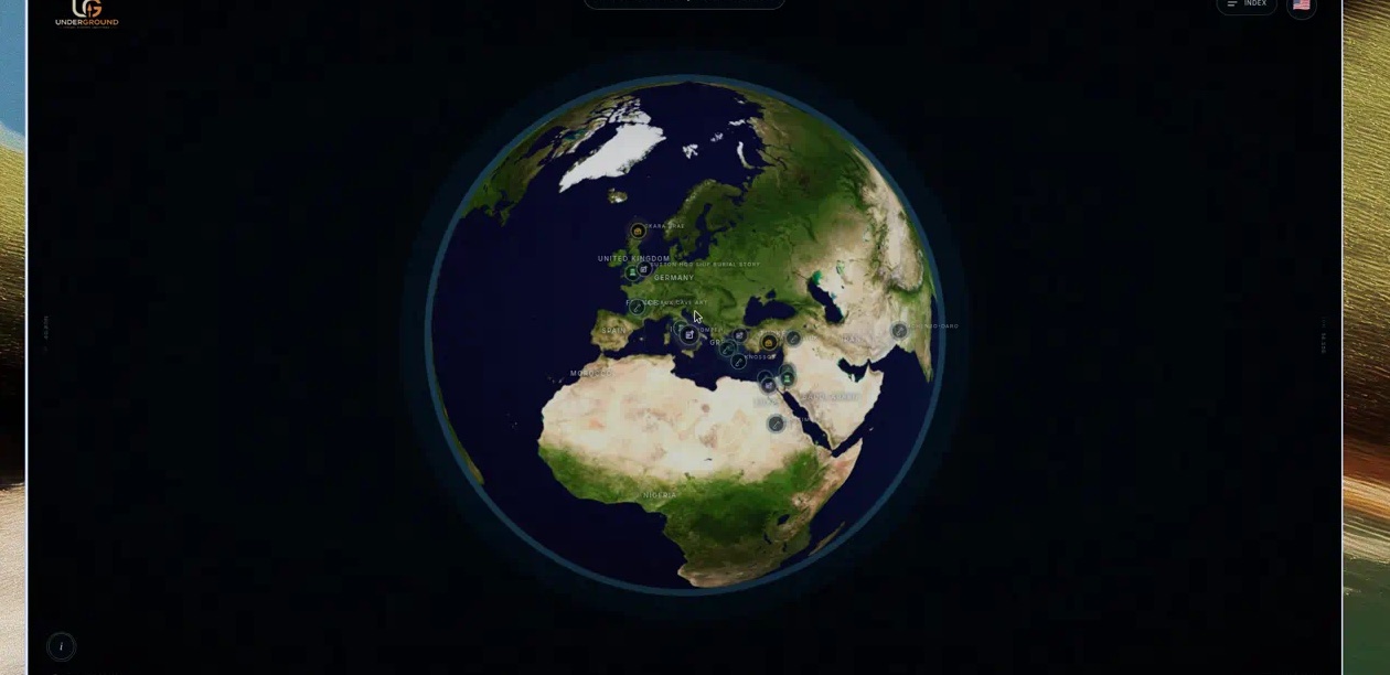
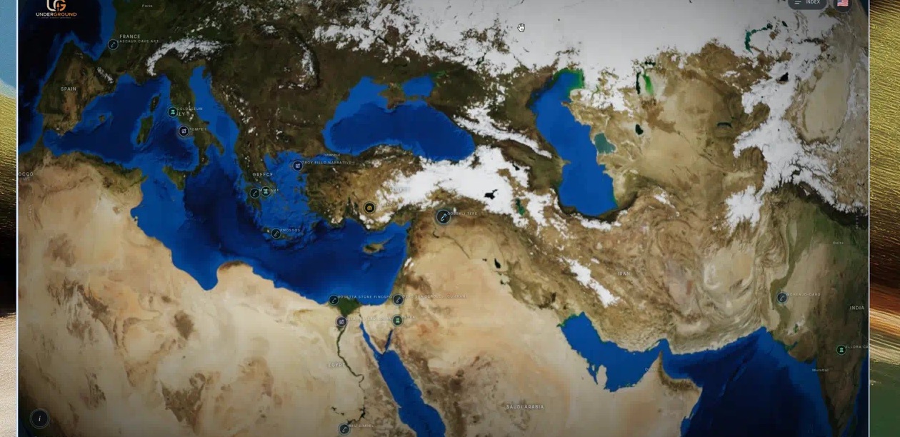
Every pin on the globe is one of four record types — so a shovel, a clipping, a column, or a briefcase tells you what kind of discovery you are about to open. Sites are excavations. News keeps the record moving. Landmarks are enduring cultural places people already feel they know. Jobs are season calls and crew openings — discovery as participation.
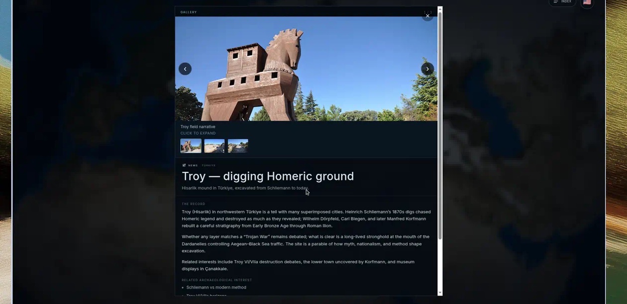
Click a pin and a dossier unfolds: photographs, plans, video when present, and a narrative that answers what, where, who, why, and what still matters — not a GPS dump with a stock photo. An index sorts by type, location, or A–Z when you need a list. The globe tours itself until you touch it; then you own the view.
Under the hood this is real geometry, not map-SDK cosplay: north-up navigation, camera-facing marker culls, centralized lat/lon → vector placement, and a content engine that survives offline. The moat is curated coverage plus editorial discipline — places people care about, kept accurate, kept beautiful, kept current.
Live behind the gate at earth-ui.vercel.app. Explore. Discover. Understand.